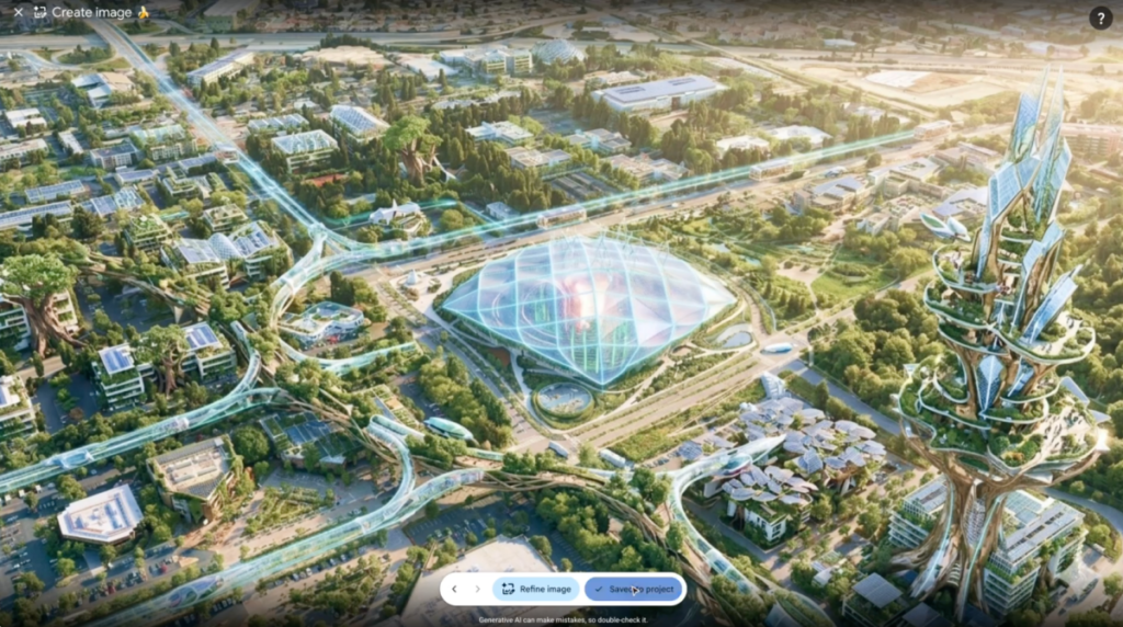
Google removed a new feature from its Earth application just one day after launching it. The tool allowed users to run Nano Banana 2, an internal AI model, directly within the satellite mapping interface to generate fabricated images over real geography. Critics immediately flagged this as a risk for spreading misinformation, noting that the prompt-based system could superimpose any image onto authentic maps with little friction. A BBC journalist publicly questioned the claim that such a tool would not be abused, pointing out that Google Earth is a primary source of visual evidence for researchers and journalists. In response, the company stated it observed both useful applications and policy violations regarding shared screenshots. Google confirmed it is rolling back the feature while developing stronger guardrails to prevent misuse. This reversal highlights the difficulty of integrating generative AI into platforms where factual accuracy is paramount. The incident also reflects a broader tension in the industry, as most web imagery can now be manipulated without advanced skills.
The quick withdrawal signals that practical safeguards are often missing at launch. Users must remain vigilant when consuming geospatial data from any digital source.
* The feature enabled direct generation of fake satellite views within the app.
* Google cited policy violations as the primary reason for the rollback.
* AI image manipulation is now accessible to the general public.