
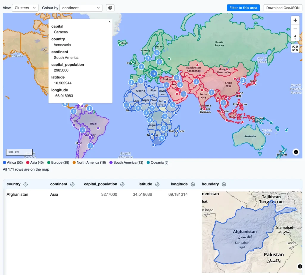
Simon Willison released datasette-maplibre 0.1a0, a new geospatial plugin for the Datasette application. The tool integrates MapLibre GL with OpenFreeMap, a vector map server run by Zsolt Ero. Willison generated the majority of the code using a single prompt to Claude Fable 5.2. The plugin combines features from existing Datasette plugins while adding specific optimisations. It displays SVG previews of GeoJSON shapes and loads WebGL previews only when users scroll those areas into view. A comprehensive demo works within Datasette Lite via Pyodide and WebAssembly. The interface shows both GeoJSON shapes and latitude longitude points on the same map layer. Users can filter data, download GeoJSON files, and colour regions by continent. The release demonstrates practical application of large language models for software development workflows.
- The plugin uses OpenFreeMap as its underlying vector tile source
- WebGL rendering is lazy-loaded to reduce initial page weight
- Full browser-based demos run without a local server installation